Solutions for architects and designers
Why use a Land surveyor?
Geospatial solutions
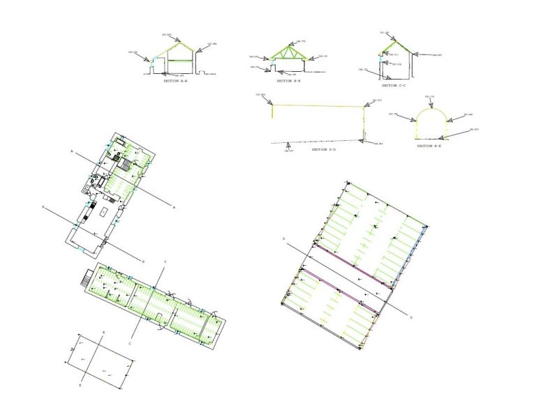
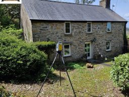
Geospatial solutions play a crucial role in the field of architecture and design, particularly in the context of land surveying. These innovative technologies provide architects and designers with accurate and detailed information about the land they are working on, enabling them to make informed decisions and create more efficient designs.
By utilising geospatial solutions, architects and designers can obtain precise measurements and data about the topography, elevation, and boundaries of a site. This information is essential for creating accurate site plans and ensuring that the design integrates seamlessly with the surrounding environment.
Furthermore, geospatial solutions offer the ability to visualize the land in 3D, allowing architects and designers to explore different design options and assess their impact on the site. This not only enhances the creative process but also helps in identifying potential challenges and finding innovative solutions.


We need your consent to load the translations
We use a third-party service to translate the website content that may collect data about your activity. Please review the details in the privacy policy and accept the service to view the translations.

