Land Surveys Wales
.
Land and Topographic and Surveyors providing high accuracy surveys across South Wales, based in Pembrokeshire
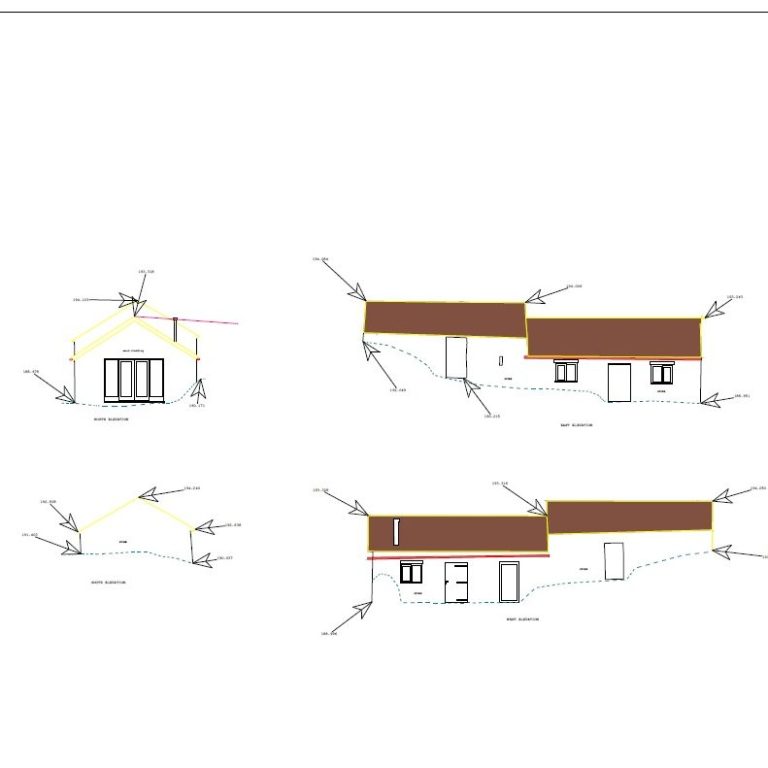
3D scanning - Topographic Land Surveys - Building Elevations - Measured Floor Plans - Wales
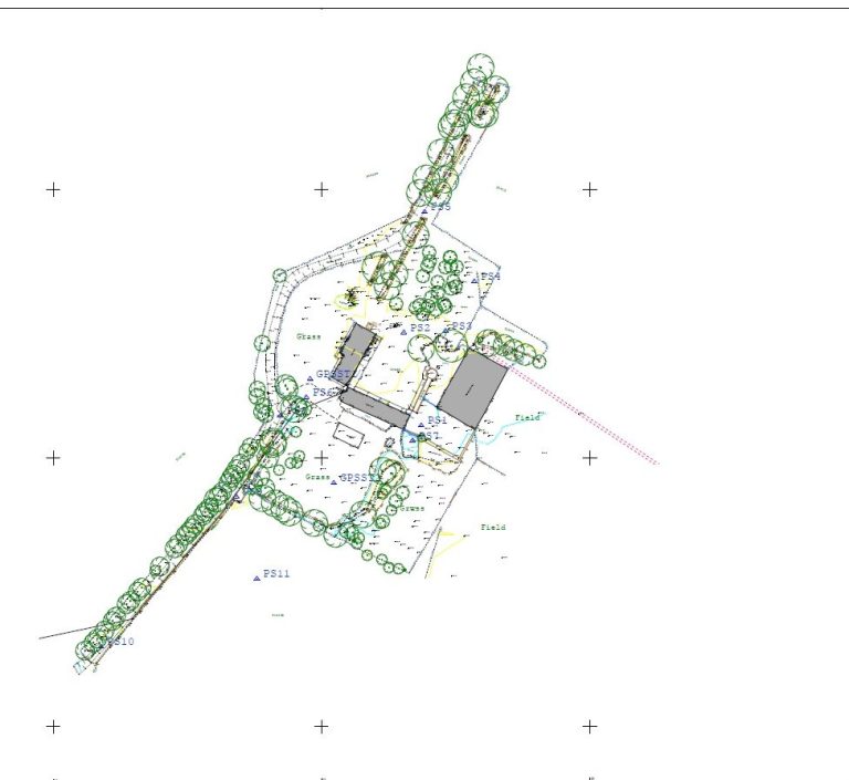
We Tribrach Surveys & Civils are a land and topographic survey company based in Pembrokeshire. We provide various Land surveying services to both private and commercial customers around South Wales. Whether it's topographic surveys for architects and designers or building surveys for construction projects or historical purposes.
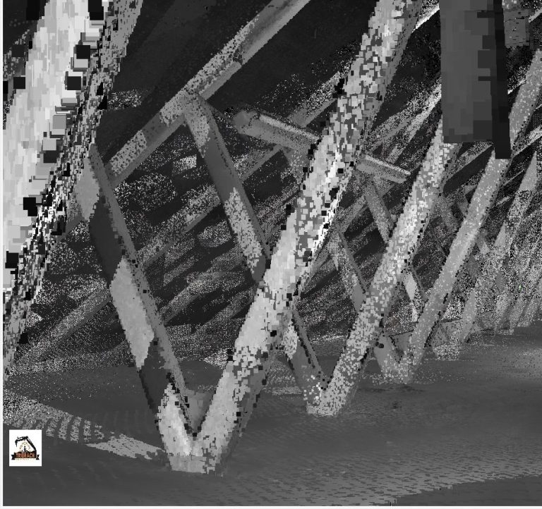
We have a professional and driven approach to our work, ensuring we can carry out exactly what our clients require. We also love the work we do and always like to go the extra mile to give customers the outcome they are looking for. Our state of the art Total Stations and GPS equipment can allow you to get extremely in depth detail plus 3D topographic and building surveys drawings which can give you a better 3D visual view of your project.
We can also help explain topographical survey drawings to private clients who are having surveys done on homes, scrub land and similar things so you understand what's been measured and displayed on the plans.
We cover all of Pembrokeshire, Ceredigion, Carmarthen and the Llanelli/Swansea areas and indeed the whole of Wales with some of our work on the new BBC buildings in Cardiff also being some of our recent work.
Whilst we are based in West Wales, our work has seen us travel around the UK with surveying work also being carried out in Derby, Hereford and Worcester, more recently.
Click our links below to view our surveying services and if you have a question about our work/services. Please get in touch, we'd love to hear from you.
3D Scanning
Topographic Surveys
Land Boundary Surveys
Site engineering
We can produce our surveys in a range of formats in dwg/dxf, pdf, Moss and LandXML.
Volumetric surveys and calculations is also a service we offer. This can consist of surveying the area and calculating volumes from a proposed design and tweaking levels to alter cut and fill to achieve a balance. We would usually require a CAD file of the proposed design in either 2D or 3D but it all depends on the information you are able to provide us.
We at Tribrach Surveys and Civils understand that Cut and Fill calculations are crucial to any bulk earthworks. Where possible we can alter the levels so to avoid the need of Muckaway or indeed importing fill which will save time and money on any earthworks project. Our cut and fill calculation projects have ranged from a small dig out for a house extension to industrial sites spanning over six acres. One project we took on recently we were able to alter the design to reduce a potential muckaway volume of over 18,000m3 down to just 762m3 of muckaway, saving the client a massive cost.
For more information on any of our services follow the link to our contact form below.
We need your consent to load the translations
We use a third-party service to translate the website content that may collect data about your activity. Please review the details in the privacy policy and accept the service to view the translations.


